
ITI System Evaluation
Local Support Starts with Local Discussions
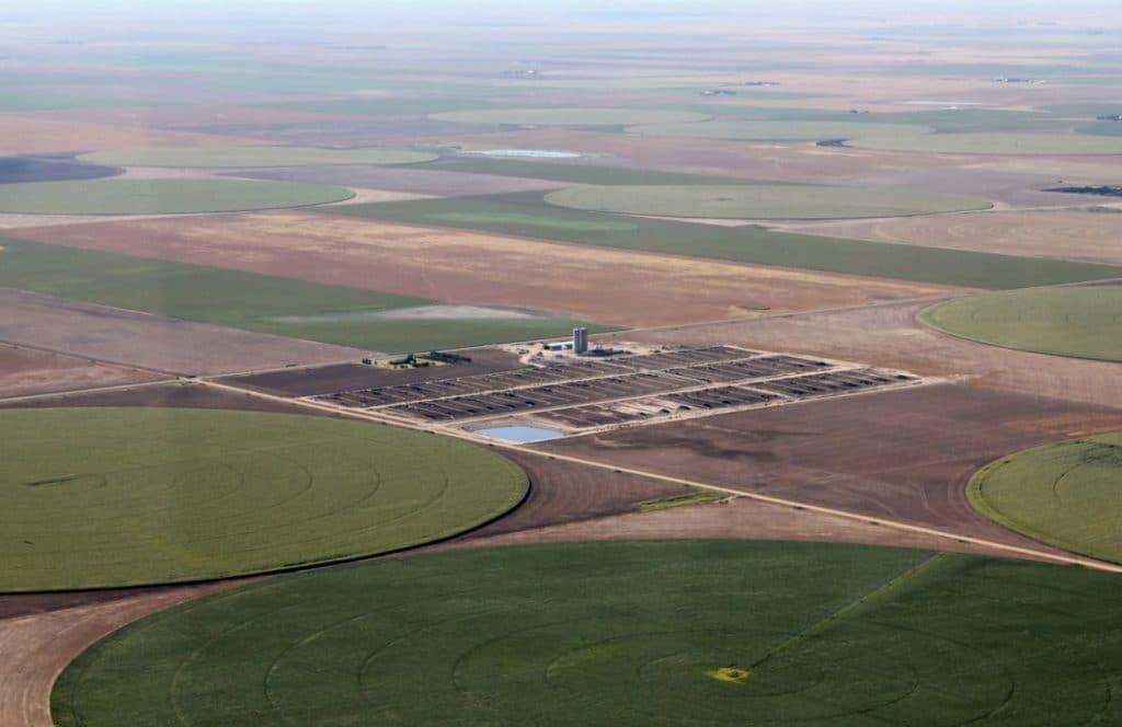
The five Western Kansas Groundwater Management Districts and the Kansas Department of Agriculture’s Division of Conservation are working together to provide assessments to help producers gain a better understanding of their water systems efficiency.
This approach will utilize practices and techniques selected in consultation with partners, including the Kansas Water Office and experienced irrigation conservation engineers. In part, these practices and techniques were selected to complement those proposed for the High Plains Aquifer RCPP project. State funding for the Irrigation Technology Initiative will be used to implement these assessments and evaluations for Kansas producers with land located within the boundaries of Kansas Groundwater Management Districts.
Before the assessment, producers will be asked to complete onboarding steps. Broken down into ten categories, these onboarding steps will help the technical providers gain a holistic understanding of the producer’s systems. Additionally, this will allow the producer to be more involved in the process and gain a deeper understanding of their systems.
Assessment Pillars
| Pillar I: Well Evaluation | Static Water Levels (SWL), Pumping Water Levels (PWL), Specific Capacity (GPM/Drawdown), well depth, drillers log, SWL at drilling, pump test available from drilling, location of the screens, location of pump |
|---|---|
| Pillar II: The Pump | Flow Rate GPM, PWL, PSI at Discharge, Energy use per hour, Overall Efficiency |
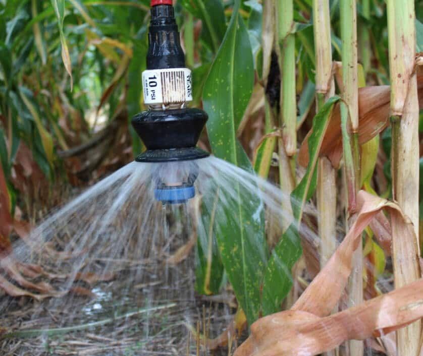
| Pillar III: Irrigation System | Irrigation Package Design (i.e. WISH), test GPM and PSI, compare uniformity patterns |
| Pillar IV: Irrigation Water Management | Compare Et crop (irrigation + effective rainfall), spot check water budget, crop water budget (irrigation + effective rain), compare total irrigation (other fields and similar crops) |
Onboarding Steps
Measure elevation at each well/pump, base of pivot, and at end tower.
Design from WISH, V-Chart, Z-Chart or what applies to you.
Water Information Management and Analysis System (WIMAS), Water Well Completion Records (WWC5), Water Information Storage and Retrieval Database (WIZARD), or any other useful documents.
Depth of well and pump intake, as well as pump assembly and design details.
Information from past and current years from AgSense, FieldNet, FieldWise, AP, or other. Desired location is the end tower.
Isolation valve attachments should be located at the pump discharge before/after each butterfly valve and at the base of the pivot or on the riser.
Energy annual water use report, diesel usage, natural gas usage, KWh total, money spent on energy total.
With sounder cable
How to Participate
- 2 system evaluations per entity / producer.
- Producers must complete all onboarding steps first.
- Complete Onboarding Form
- Complete the top portion of the ITI Application
Contact Info:
- Phone: 620-872-5563
- Email: tdavis@gmd1.org or kdurham@gmd1.org
- Website: www.GMD1.org